The Brahmatal trek is a 28-kilometre trek, starting at Lohajung, a base camp town in the Chamoli region of the Garhwal Himalayas. Through deep conifer, cedar, oak, and fir forests, the 6 km hike from Lohajung to the Gujreni campground is traversed. The Gujreni campground is located in the centre of a lovely open surrounded by oak and rhododendron trees and offers expansive views of snow-capped mountains.
The unique aspect of this trek is that it will allow you to view the Himalayas, which is truly magnificent. One will just be able to see things with our own eyes that otherwise never would have seen, and little waterfalls and the wonderful sounds of the forest will be waiting to welcome us when we arrive.
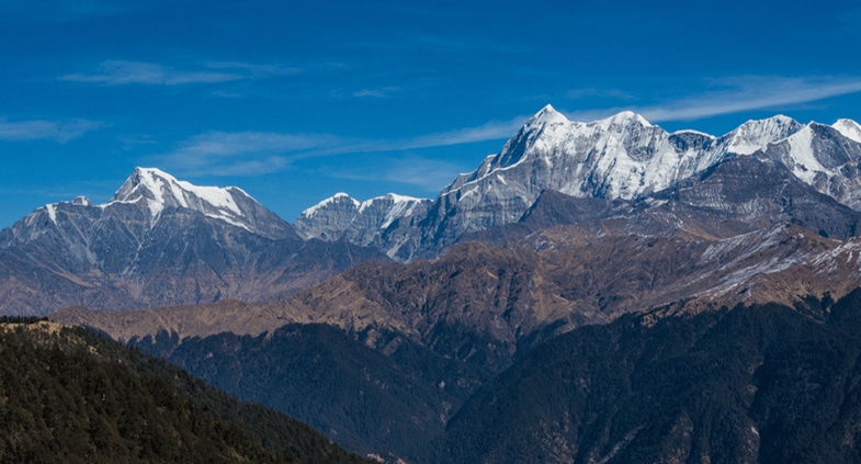
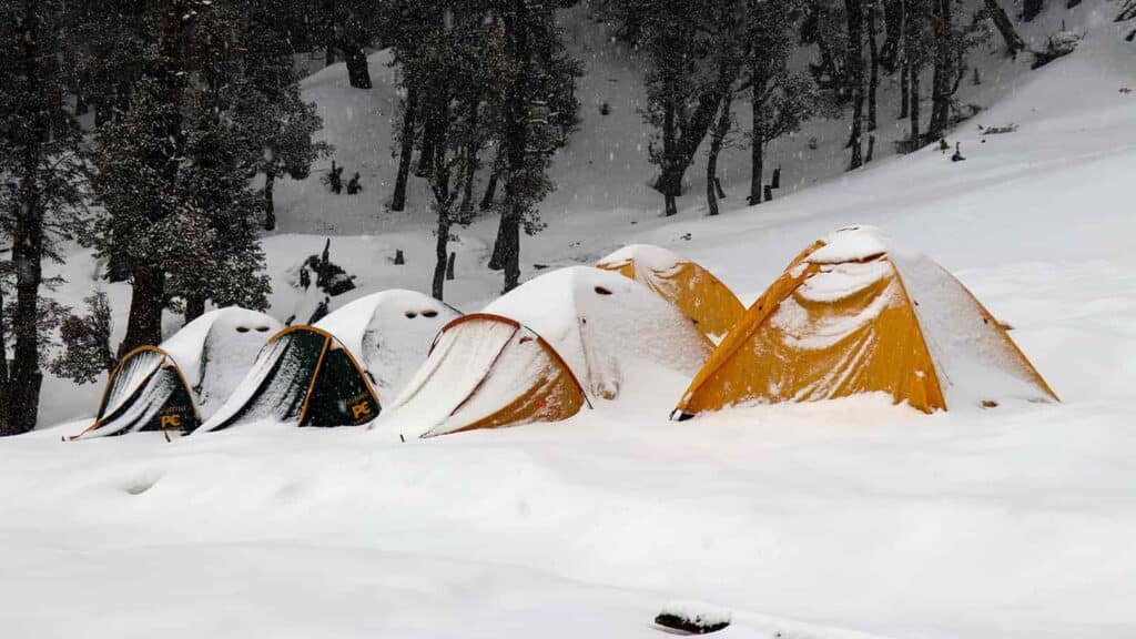
One of the most romantic woodland treks can be found in Brahmatal, which also has oak trees that are more than a century old and a variety of bird species. Rhododendron blossoms in shades of red and pink cover the paths of these woodlands in the spring. When it snows, the scenery changes tremendously, blanketing the area in immaculate white snow and transforming it into nothing less than a Winter paradise.
The Brahmatal Trek offers breathtaking views of various tall mountain peaks, like Mt. Trishul, and Mt. Khamet, which are in the heart of the Uttarakhand Himalayas. Brahmatal Trek is a moderately difficult trek that begins at Lohajung Base Camp in the Chamoli region of the Uttarakhand Himalayas. This trek is a wonderful choice for first-time hikers because it is so high up and has a similar history to the Brahmatal Lake in which locals still have trust.
The hikers, be they beginners or experts will find the route suitable. Less risk of altitude sickness exists because the journey spends most of its time in wooded regions.
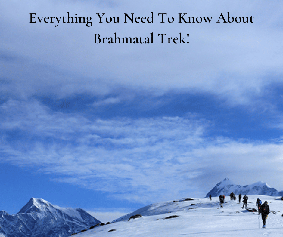
Here’s how you will be covering the Brahmatal Trek in 6 days!
Day 1: Arrive at Lohajung
Drive distance: 260 Km
Drive duration: 10-11 hours
Altitude of Lohajung: 2331 m
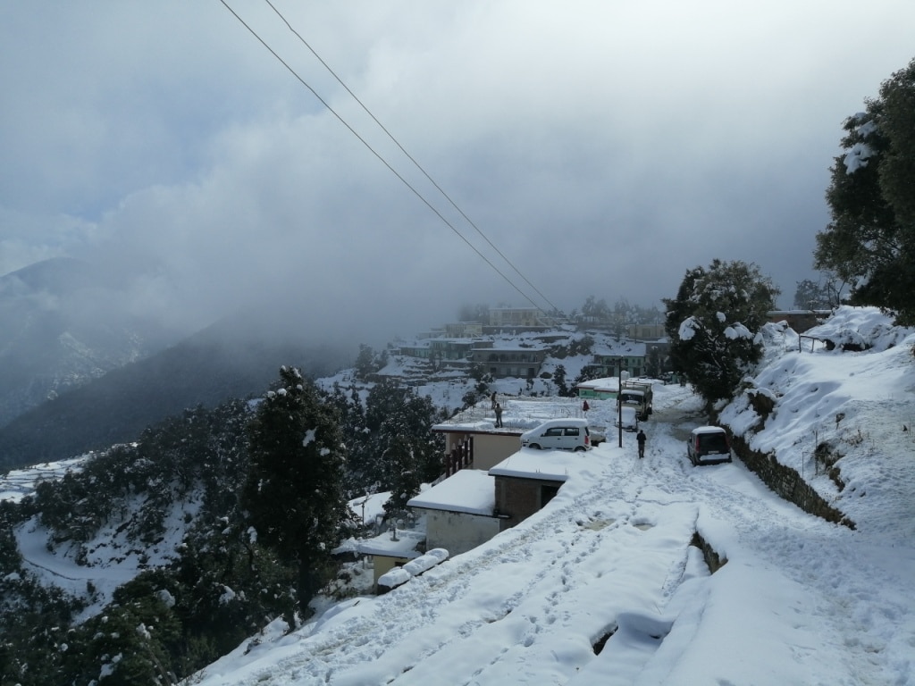
Driving uphill to enter the Kumaon area of the Garhwal Himalayan Belt is the first step in the adventure. There are several highways in this area, and the Shivalik hills are visible in the distance. The surroundings are serene, and you go quickly down this part of the Ganga river.
On the journey to Lohajung, pass past three of the five famous confluences of the Alaknanda river.
Devprayag, a stunning example of tradition, is the first confluence we will see. It is where the Alaknanda and Bhagirathi rivers meet. In the valley below, it is easy to see how the turquoise from one merged with the teal from the other.
Further forward from here is the Rudraprayag. The convergence of the Mandakini and Alaknanda rivers.
The third Karnapraya confluence, where the Alaknanda and the Pindari Rivers converge, is located around 33 kilometres from Rudraprayag. Each confluence is beautiful to view and distinctive in its environment.
Karnaprayag is 86 kilometres away from Lohajung, which is situated in the Chamoli region of the Garhwal Himalayas.
Day 2: Trek from Lohajung to Gujreni
Trek Distance: 6 Km
Duration: 4-5 hours
Altitude of Gujreni: 2750 m
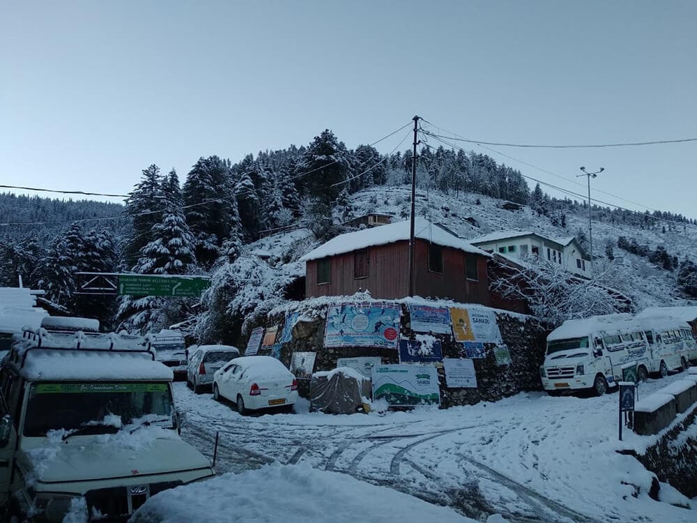
The journey begins with a well-maintained stone track leading into the woodland. Nanda Ghunti Peak may be seen from the start of the journey.
Mandoli town is nestled away in the massive mountain ranges on your left after a little trek through the forest. From here, the route gradually climbs in lengthy, serpentine twists. From a higher vantage point, you can see the Kali Valley, which is where the Kali and Pindari rivers meet. Beyond this point, much of the path is covered with coniferous, cedar, oak, and fir trees, which block most of the sunlight. Rhododendrons can also be found here.
The route is covered with lovely orange and crimson colours when they bloom in early spring. These pathways are spotless white in the winter, devoid of any flower petals.
The next landmark is a 10-meter wooden bridge that crosses a brook where you may replenish your bottles. As you cross the bridge, you will come to Begum, which is a great place to stop and rest while taking in the enormous Navali and Bagdi Bugyals. You will encounter two streams 20 minutes from here on a trek. Eventually, the Gujreni stream, the second stream, will bring you to a lovely clearing with thick woodlands serving as a backdrop.
Oak and rhododendron forests that are umber-brown surround this area and give it a woodsy smell. Try spotting some of the local species, such as the Himalayan Woodpecker, Asian Barred Owlet, and Blue-fronted Redstart, once the camps have been established. The temperature will decrease significantly at this campground from late December to early March due to snowfall.
Day 3: Trek from Gujreni to Brahmatal
Trek Distance: 5 Km
Duration: 4-5 hours
Altitude of Brahmatal: 3400 m
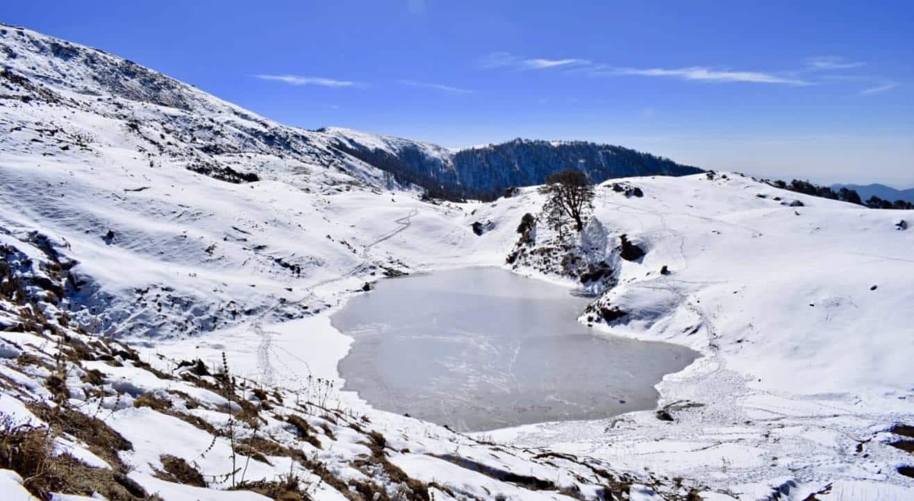
The route ascends gradually as it leaves the Gujreni Campsite and enters a dense woodland. Here, among the soaring treetops, is where you will catch your first view of Mt. Trishul. The Bekaltal lake is 2 hours trek distant and is surrounded by oak forests.
Mud-brown water indicates a significant quantity of dissolved organic materials. The lake is perhaps frozen during the coldest parts of winter. You can stay a while and immerse yourself in the utter stillness of this place.
The following hour’s hike is a difficult ascent through a grove of oak and rhododendron trees. The majority of the sunlight is blocked by the trees’ nearly impenetrable canopy. As a result, there might still be snow patches on the trails in the early spring.
A magnificent meadow known as Talindi Top emerges from the forest after about an hour and provides some incredible views of Mt. Trishul and Mt. Nanda Ghunti. One kilometre further, at Jhandi Top, are vistas that transcend those of Talindi Top and are even more breathtaking. The scene is bizarre to witness, with the heavens wide open and multiple tiers of jewel-blue mountains stacked one on top of the other.
The ridge’s highest point is designated as Jhandi Top. Beyond here, the path starts to decline. Only 1.5 kilometres of a ridge-based descent will take you to the Brahmatal campsite.
The stunning picture opportunities at this location may be explored by going outside. During the coldest winter nights, temperatures might drop to -7 degrees Celsius.
Day 4: Trek from Brahmatal to Brahmatal Top; back to Brahmatal
Distance covered: 6 Km (Brahmatal to Brahmatal Top and back)
Altitude of Brahmatal Top: 3846 m
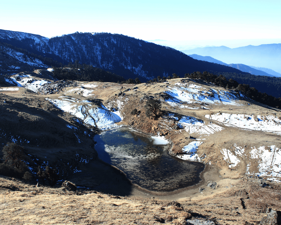
The Brahmatal lake is nestled away in the centre of a verdant clearing and may be found 20 minutes into the hike. The Brahmatal Lake route is a steep slope that ascends continuously across wide meadows. This location resembles a Winter Wonderland in the winter when it is often blanketed in a blanket of white snow, and the lake sparkles in the early morning light.
After the lake, the route gradually climbs and encircles a hill. Gaining height slowly, you will see the Brahmatal lake disappearing into the valley below. The last ridge climb follows a section of gradual climbing on the first ridge.
After crossing the last crest, a breathtaking view of frost mountain peaks that seem to be standing right next to you on a movie screen finally emerges. Look for the mountain ranges Mt. Trishul, Mt. Nanda Ghunti, Mt. Chaukhamba, Mt. Neelkanth, Mt. Kamet, and Mt. Hathi Ghoda.
The summit’s up-close view is still breathtaking even though Mt. Trishul and Mt. Nanda Ghunti are there to accompany you the entire way.
Day 5: Trek from Brahmatal to Lohajung
Trek Distance: 11 Km
Duration: 7-8 hours
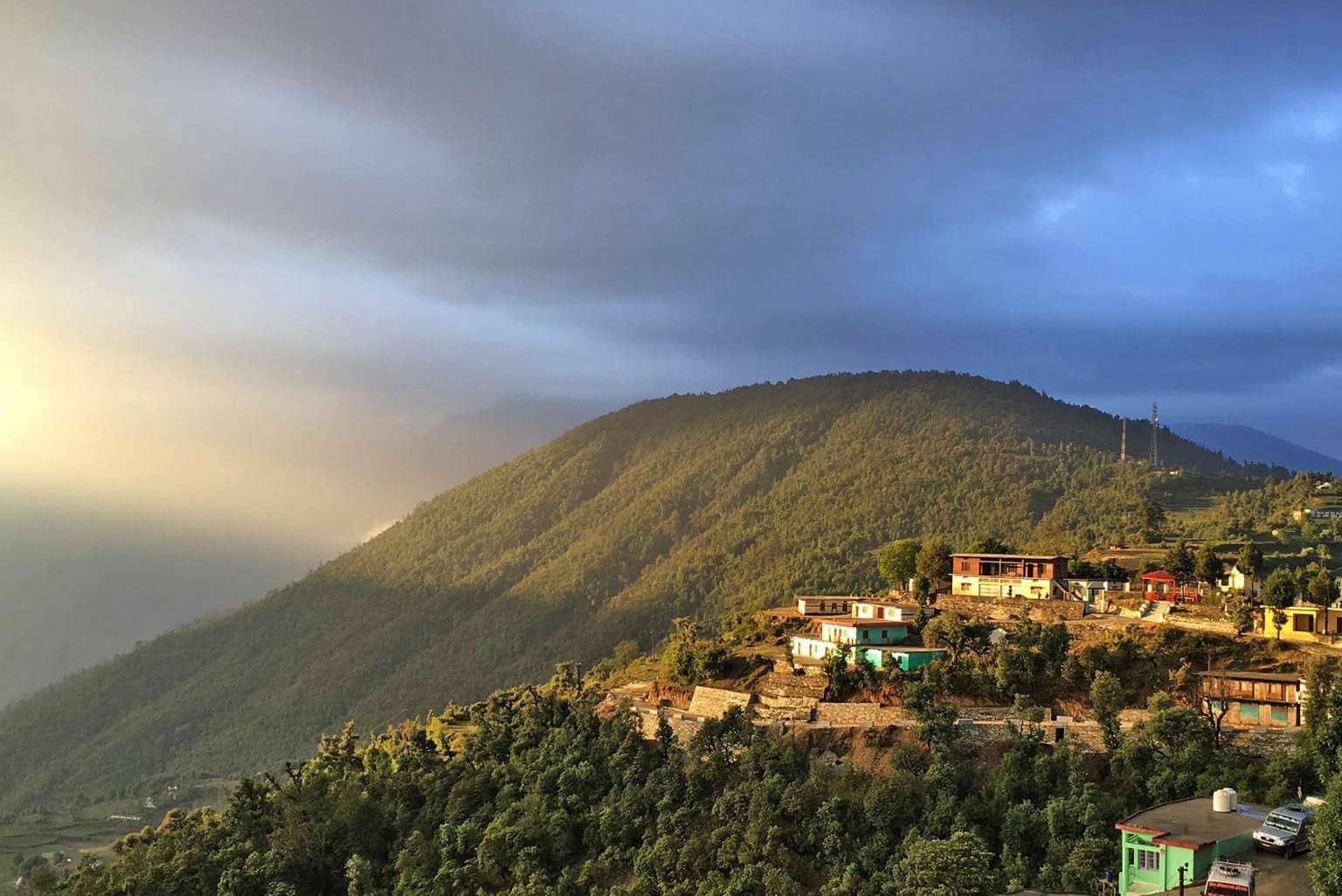
Forests of oak and rhododendrons cover much of the walk. You will eventually come across a few Shepherd’s huts, which are small structures used by the villagers to house their animals. Beyond that point, you’ll be descending to the mountain towns that lead to Lohajung.
At 7-8 hours, you should expect to arrive in Lohajung. Following that, you may discover the village’s leisurely pace of life and discover its many local stories. The sunset is not to be missed. Watching the orange light softly touch Mount Nanda Ghunti’s top is beautiful.
Day 6: Drive to Dehradun
Distance covered: 294 Km
Duration:11-12 hours
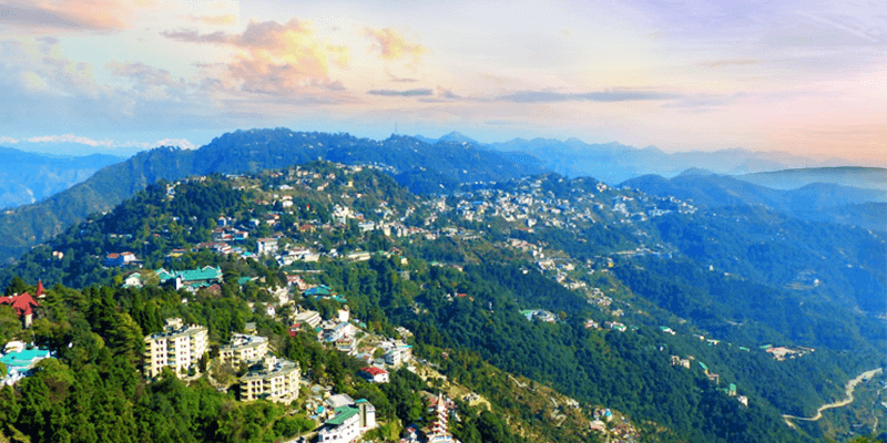
The journey will once again take you through the three confluences of Karnaprayag, Rudraprayag and Devprayag. The trip ends once you reach Dehradun.
Best time for Brahmatal Trek
March or April is considered the ideal time for a Brahmatal Trek.
How to reach Brahmatal trek’s base camp?
You would need to travel to Delhi whether you are coming from Kolkata, Bangalore, Kolkata, Chennai, Mumbai, or any other city. From Delhi, you can easily board a train to Dehradun.
By Air:
Indira Gandhi International Airport in Delhi has direct flights across major cities and towns from Delhi. Reach the airport and board the bus or train to reach Dehradun.
By Train:
Train number: 15013. Ranikhet Express to Kathgodam leaves at 10:00 PM. The train leaves Jaywalker City and arrives in Kathgodam at 5:00 AM.
By Bus:
A bus departing from Delhi’s Anand Vihar ISBT will take you to Kathgodam; it is best to reserve tickets in advance. However, you must be at the bus stop a bit early in order to reserve bus tickets.
Around nine in the evening, the bus departs from Delhi towards Kathgodam. Bus service continues till the wee hours. The journey lasts about 8 and 9 hours.
Mobile connectivity and ATM near Brahmatal trek.
ATM:
To withdraw cash, one has to go to Kathgodam as that is the nearest ATM point for the Brahmatal trek.
Mobile connectivity:
Any important calls you make from the Lohajung base camp won’t be networked farther because the phone does not function during the Brahmatal trip. You can make calls from the nearest phone booth to your family members so they can discuss the emergency.
We hope you enjoyed reading this blog post as much as we loved researching and writing it. Do let us know your experience of this trek in the comment section. Have a wonderful trek!


